Surface Hydrology (LiDAR Imagery)
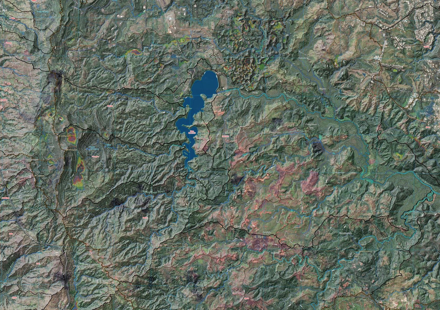
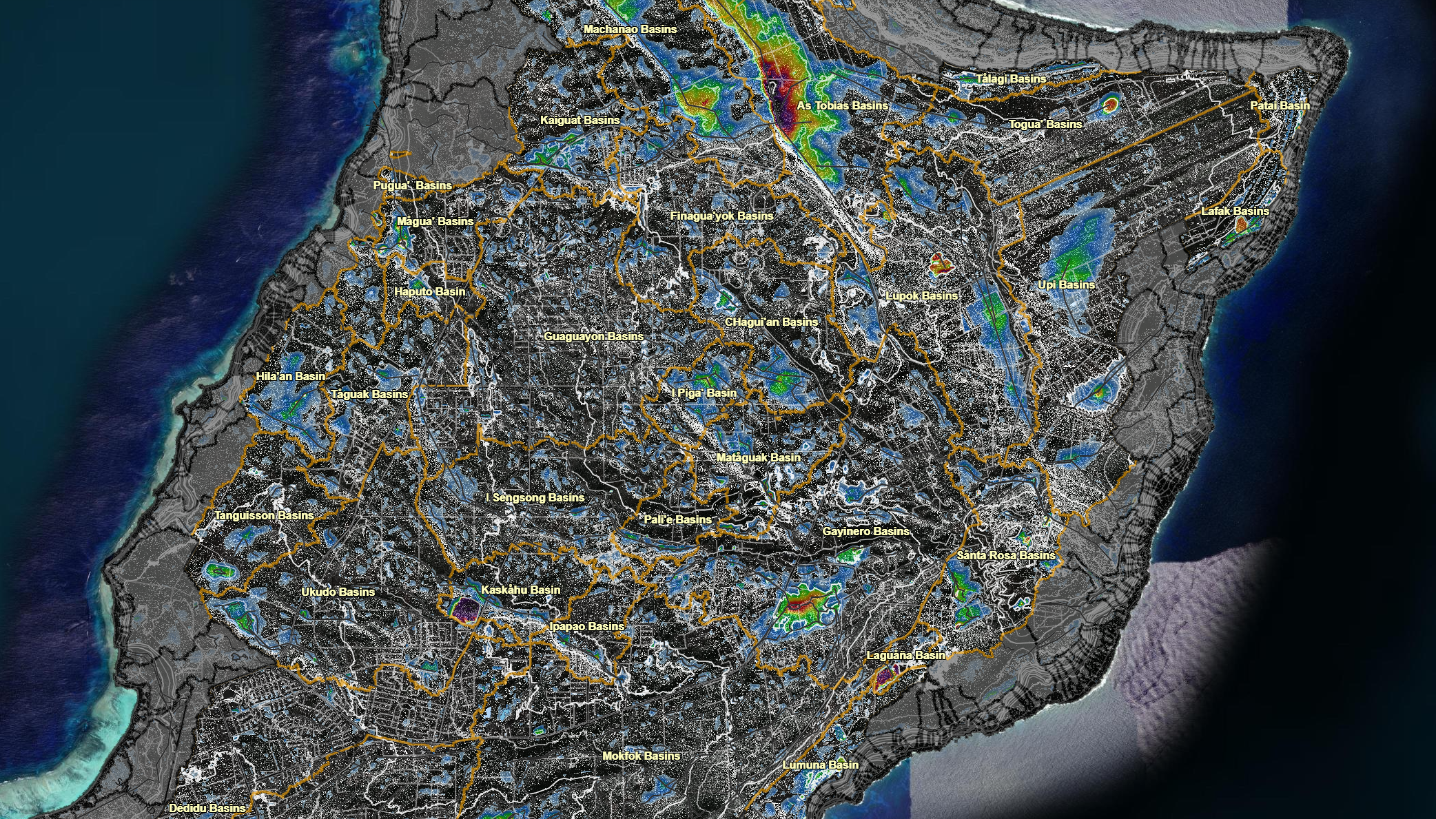
About A map that features the LiDAR imagery of the surface hydrology of the Northern Guam Lens Aquifer (NGLA). Other Versions Click on the icon
Coming Soon This map is coming soon! Thank you for your patience. We are currently working on making this map available online. Please check this
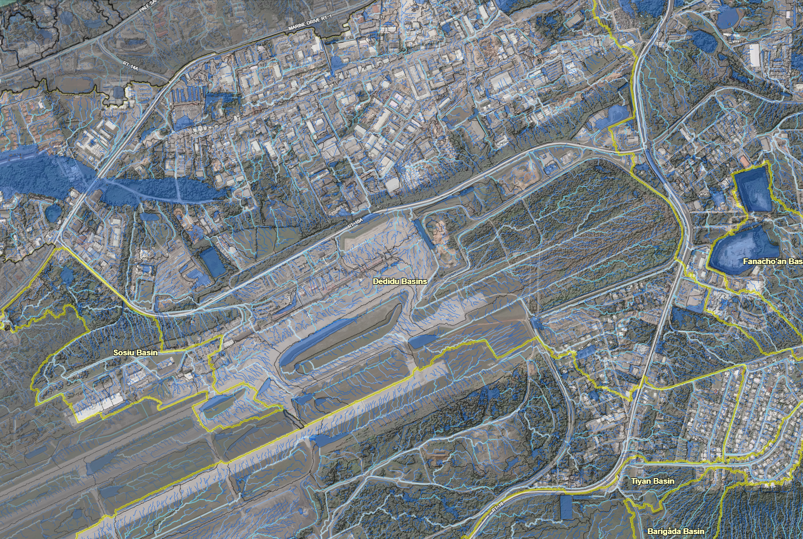
About The Northern Guam terrain analysis applied spatial analysis flow direction and slope analysis. It is overlain with the plateau basins and surface depression areas.
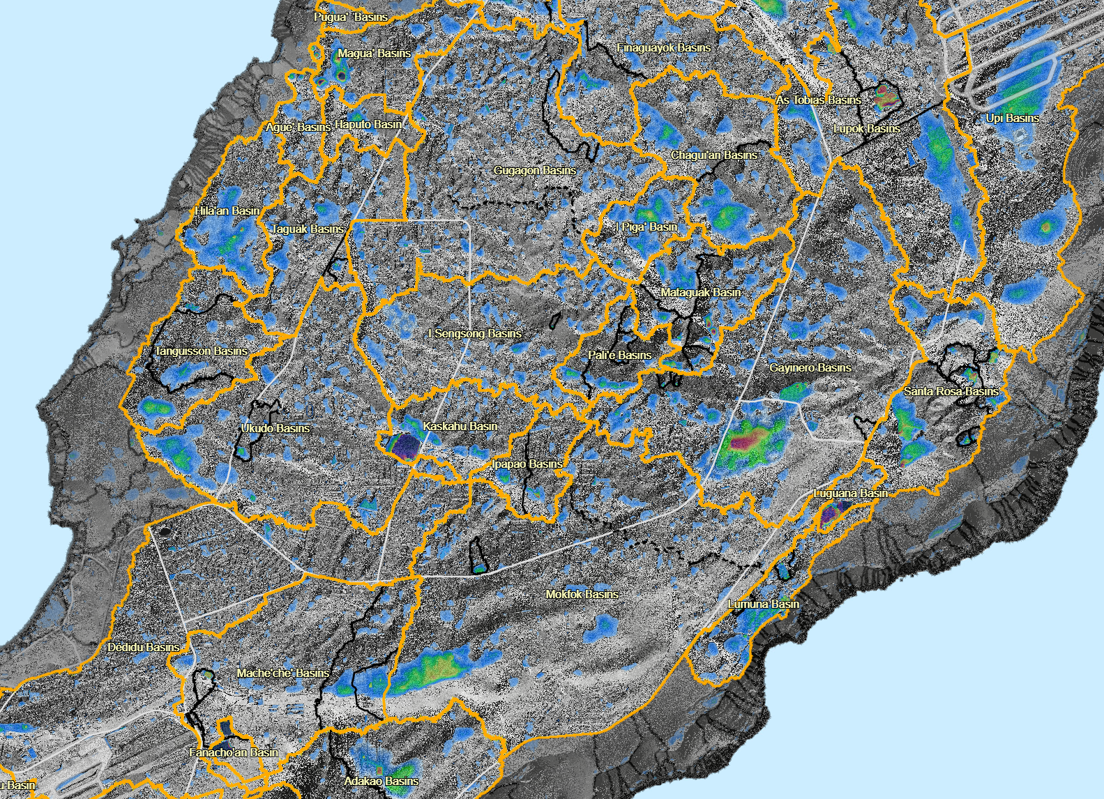
About This map shows the plateau basins with their CHamoru names. Other Versions Click on the icon to view the LiDAR Imagery version of the
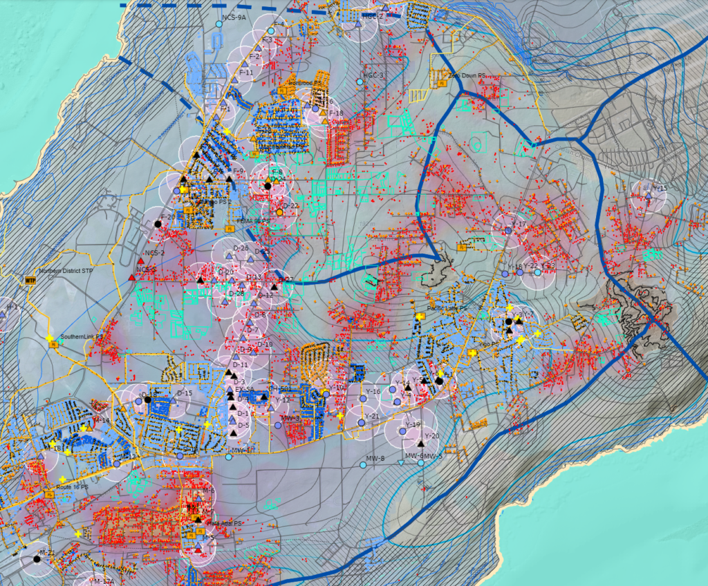
About This map illustrates the nitrate concentrations in production wells. The contents of this analysis overlays the map of the Northern Guam Lens Aquifer (NGLA).
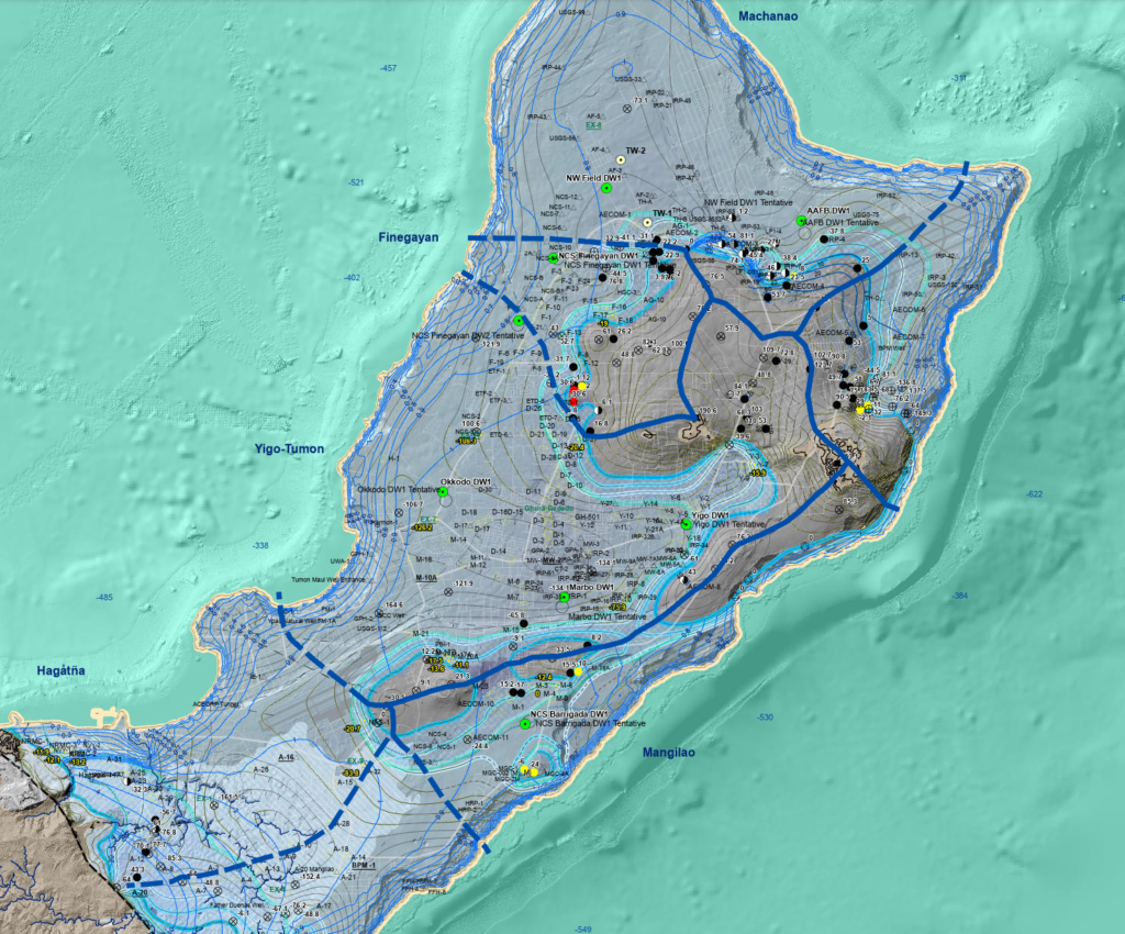
About The Northern Guam Lens Aquifer (NGLA) is Guam’s major source of utility water, from which military and government of Guam draw up to 90%
Guam Hydrologic Survey Copyright © 2025. All Rights Reserved.
MWZapata, DKValerio, GAguilar, MZiobro & NCHabana 2016-2025