About
Last Updated: 2025
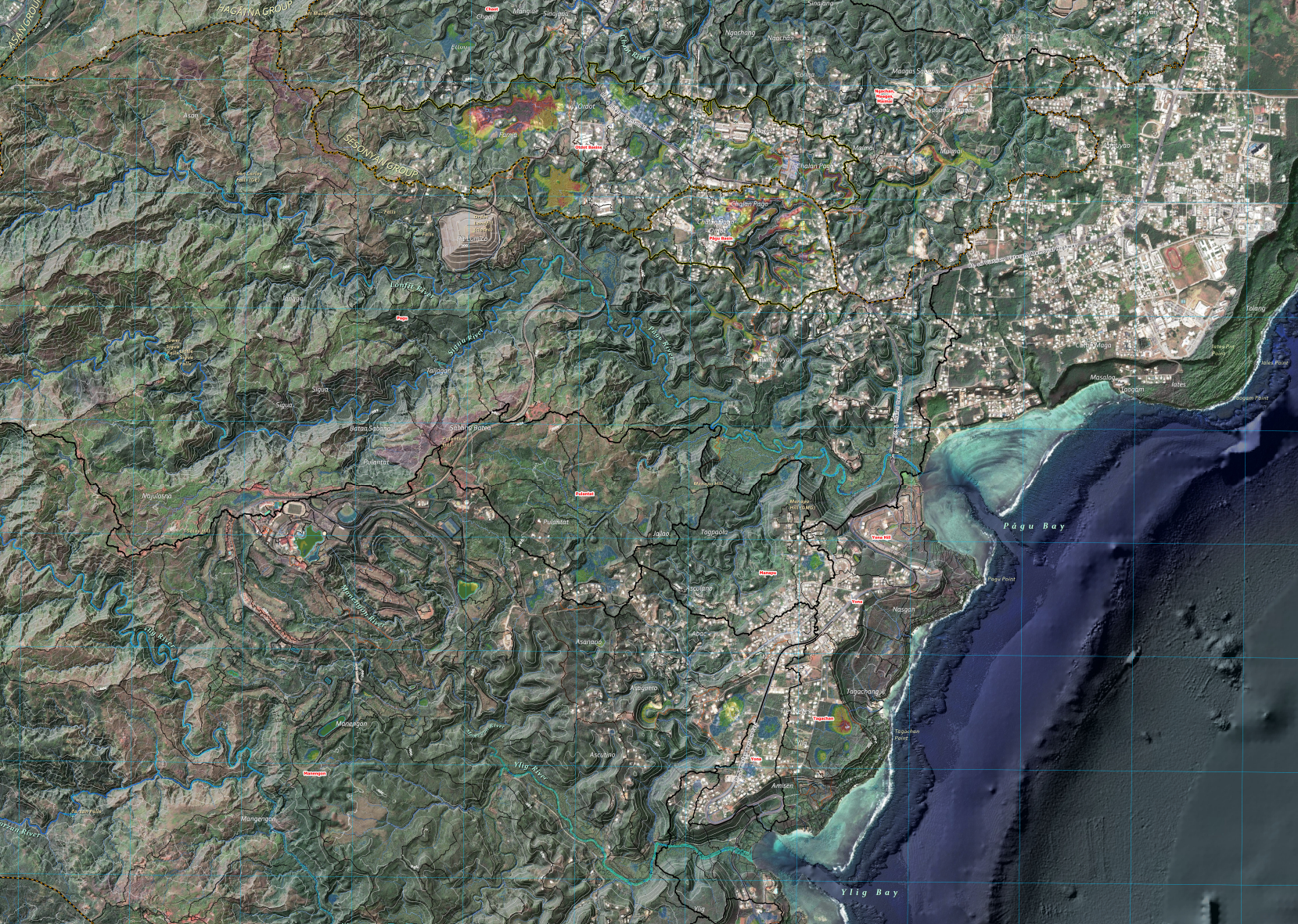
This is the first version of the highest-resolution hydrologic map of Guam’s watersheds. The analysis builds on recent terrain and hydrologic studies of the Northern Guam Lens Aquifer, particularly the Surface Hydrology of the Northern Guam Lens Aquifer (WERI Technical Report 175), and continues through an iterative process that delineates runoff paths within surface depressions. The final stage—assigning place names to hydrologic features—was submitted to the Kumisión I Fino’ CHamoru and the Kumisión I Na’an Lugat Guåhan team in July 2026 for spell-checks and suggestions on the place names.
WERI Technical Report No. 190
The technical report for this map is now available in the Sort & Search Library.
A PDF is also available to view and download, here.
Downloadable Map Content
Click on an item below to download a file.
GIS Files
The features (shapefiles) and rasters were used to build the map. These GIS files were developed based on WERI Technical Report No. 190.
The file is a GIS layers package of features and rasters. To use the package, drag/add into ArcGIS Pro’s (version 3.7, recommended) Content Panel.