Water and Environmental Research Institute of the Western Pacific
WERI Guam Hydrologic Survey
Technical Reports
University of Guam
Research
Research RFK Library
GWRDG | TWG
Appreciation & Recognition
Attendees
Subscribe:
Posts
|
Comments
Guam Hydrologic Survey
Guam Public Law 24-247 and 24-161
SOTA Reports
Latest SOTA Report
REO Agendas
Latest REO Agenda
Sustainable Management
GHS Annual Reports
Sustainable Management 2019
Sustainable Management 2017
WERI GHS CWMP Organization
Groundwater | Hydrogeology
Lens Dynamics
Borehole Database (BHDB)
Chloride and Production Database (CPDB)
Hydrology
MAppFx: SG – Ugum FDC
Surface Hydrology of the NGLA
Climate | Weather
Typhoons
Data
Wastewater | Toxicology
Salt Wastewater
MAppFx: NGLA Well Nitrates
PFAS
Library
Library: Sort & Search
Library: Maps & Posters
Library: Presentations
Web MApps
MAppFx Web Apps
About GHS
GHS Team
Contact
Web MApps
Web MApps
WERI
GBSP
Kumisión I Fino’ CHamoru
FEMA
Water & Environmental Research Institute of the Western Pacific (WERI)
Surface Hydrology (LiDAR Imagery)
View Map »
Northern Guam Terrain
View Map »
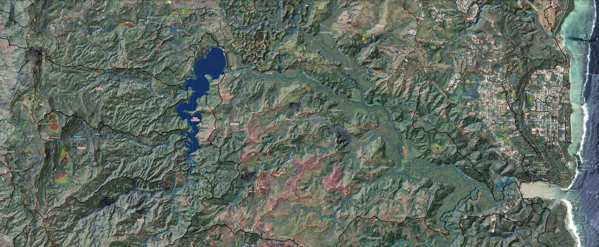
Surface Hydrology
View Map »
Nitrate-N and Sources
View Map »
NGLA Map
View Map »
Guam Bureau of Statistics & Plans
Imagery Set
View Map »
Digital Elevation
View Map »
Hillshade
View Map »
Streets and Highways
View Map »
Kumisión I Fino’ CHamoru
Guam Villages-Municipalities CHamoru Place Names
View Map »
Plateau Basins CHamoru Names of Places
View Map »
Federal Emergency Management Agency
FEMA’s National Flood Hazard Layer (NFHL) Viewer
View Map »
Back to the top