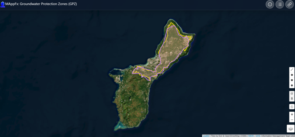
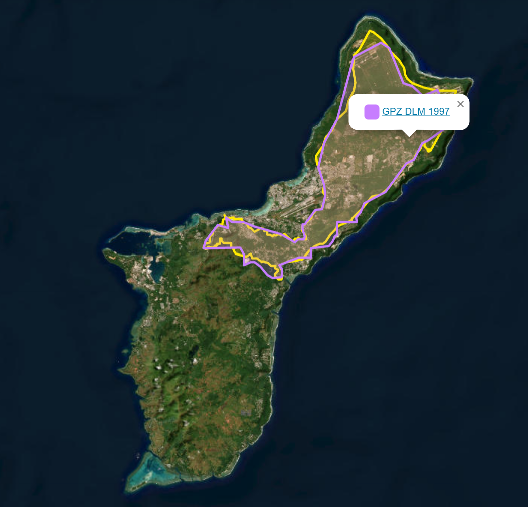
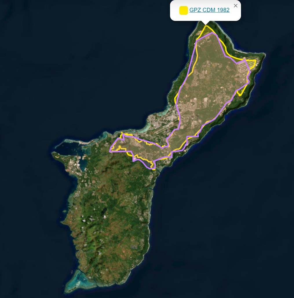
Guam groundwater protection information is now available as another WERI online interactive map interface, a MAppFx product. The Groundwater Protection Zones (GPZ) map displays the protection zones of Guam, providing an easy online reference for viewing areas important to the protection of the island’s groundwater resources. MAppFx is an intuitive data visualization interface that allows users to navigate around Guam, zoom into specific locations, and view the different groundwater protection zones across the island. This means of information transfer makes for a quick groundwater reference for the public.
Results
The interactive Groundwater Protection Zones map for Guam is now available online. This MAppFx product provides a simple visual reference of Guam’s groundwater protection areas and resides as part of the Guam Hydrologic Survey’s collection of online hydrologic resources. The GPZ MAppFx can be accessed through this link.
All available reports (e.g., annual reports, state of the aquifer, etc.) and research areas are now in one place – check them out under Reports and Research.
We thank you for your patience as we continue to roll out updates and improve the site. If you need any help, feel free to reach out here.