Authors
Author, Author, Author, and Author
WERI Technical Report
No. ### (YYYY)
View
MAppFx
Authors
Dannika Kate Valerio, Sydney M. Quintanilla, Mary Clare Snaer, & Nathan C. Habana
WERI Technical Report
No. ### (YYYY)
View
MAppFx
Summary
Interactive web maps have become an important tool for sharing geologic and hydrologic information in a way that is easy to access, explore, and understand. Traditional hard copy or pdf maps provide valuable information, but interactive web applications allow users to directly explore geographic features and connect locations with visualized data.
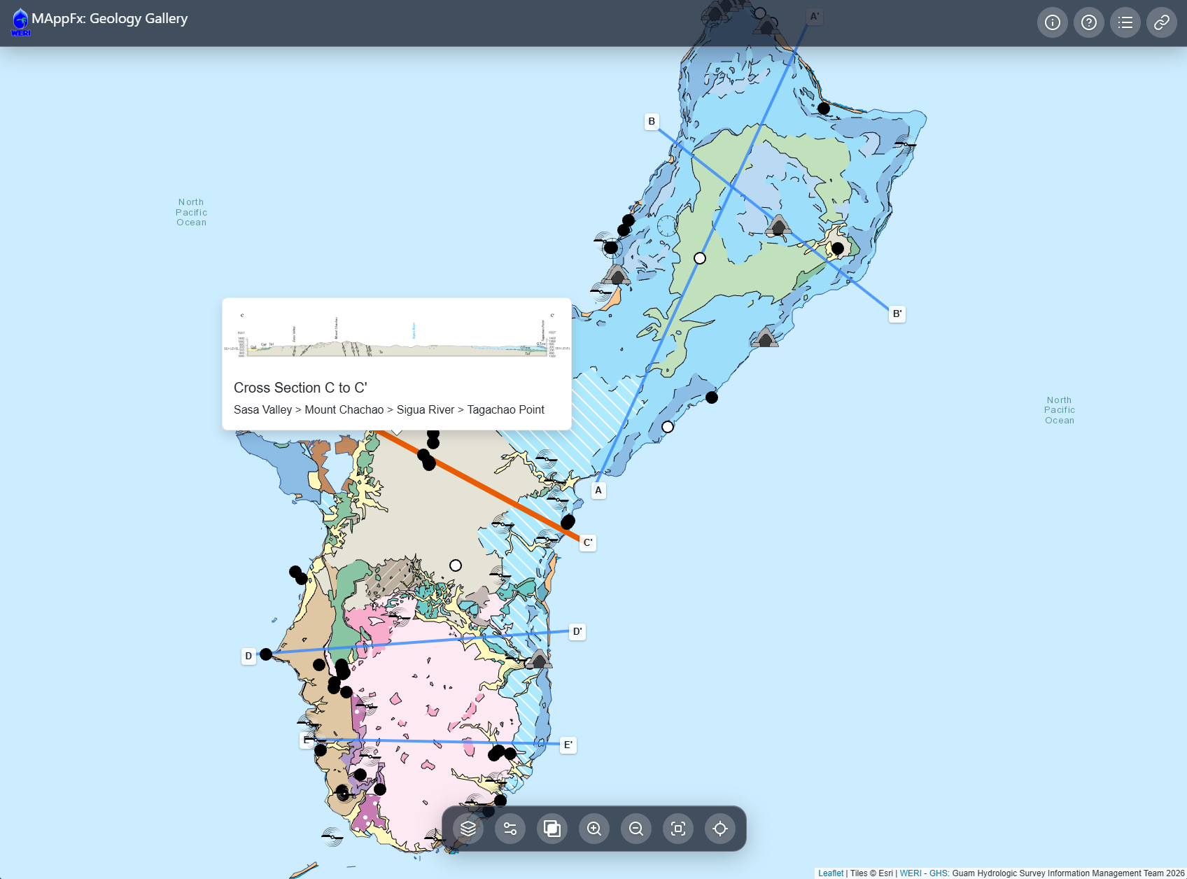
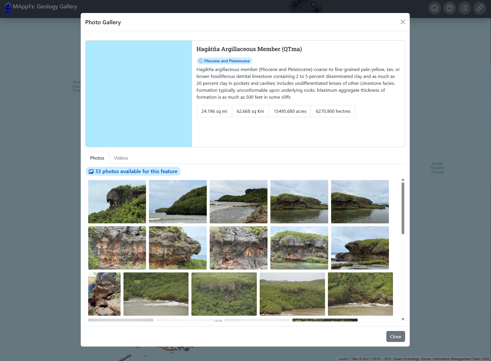
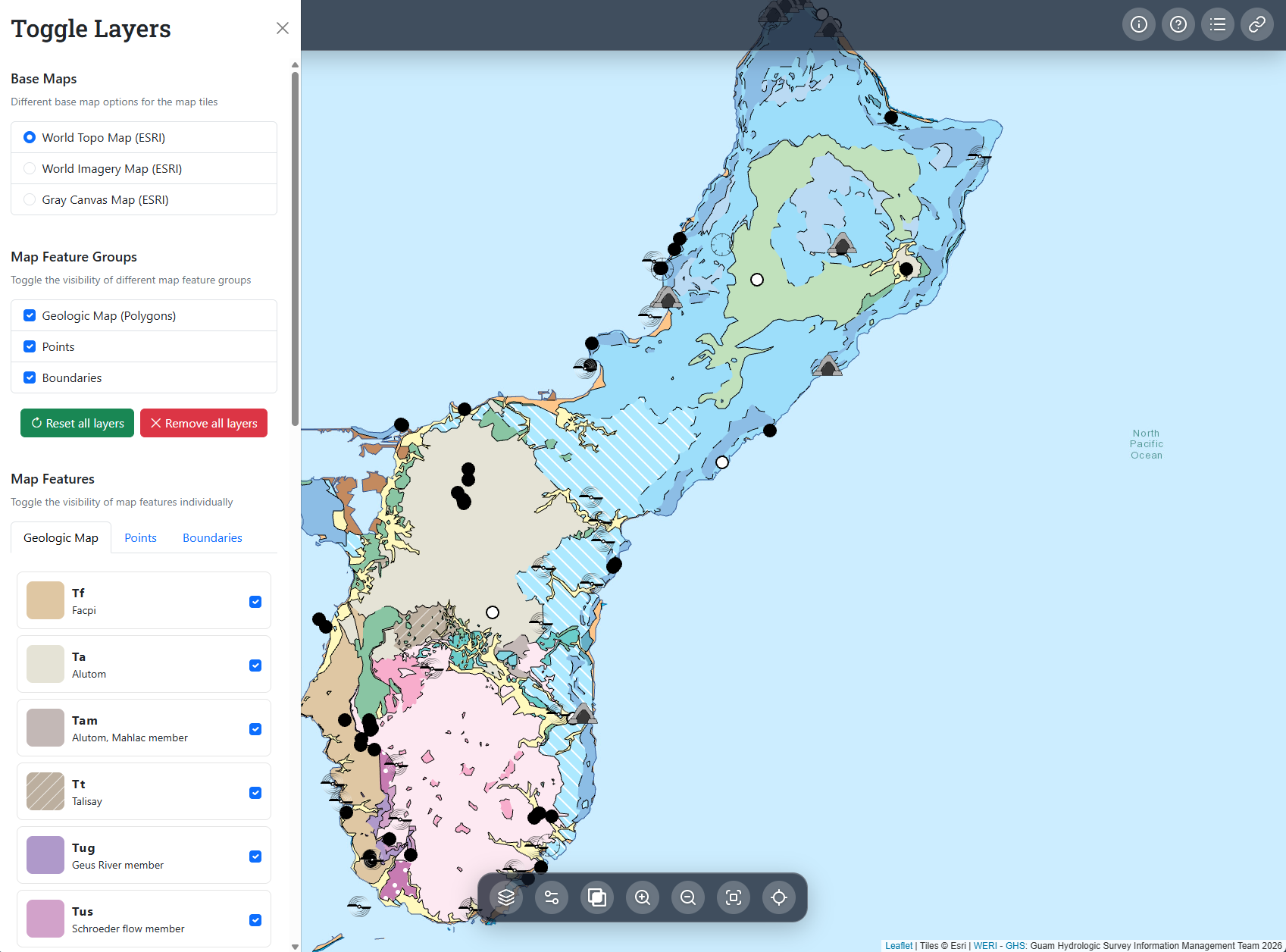
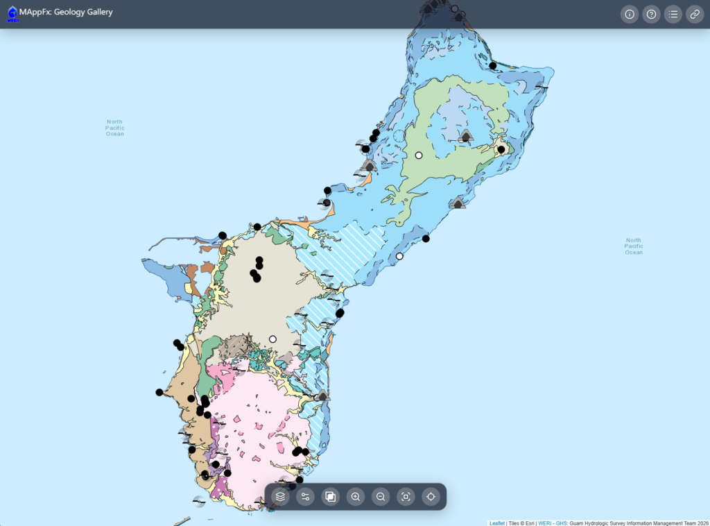
In this intent, Guam Hydrologic Survey’s GeoGallery was developed as a MAppFx project that provides an interactive way to explore the geology and natural features of Guam. The application displays the island of Guam with mapped geologic polygons and points representing different locations and features throughout the island. Users can select a point or polygon on the map to open a gallery of photographs associated with that location or geologic feature. These photographs allow users to visually explore Guam’s geology, scenery, caves, limestone formations, rock formations, and other natural features. We open with the Geologic Map of Guam as a basemap. Soon, this online platform will expand to include a variety of basemaps pertaining to hydrology, terrain, landcover, and other geographic features.
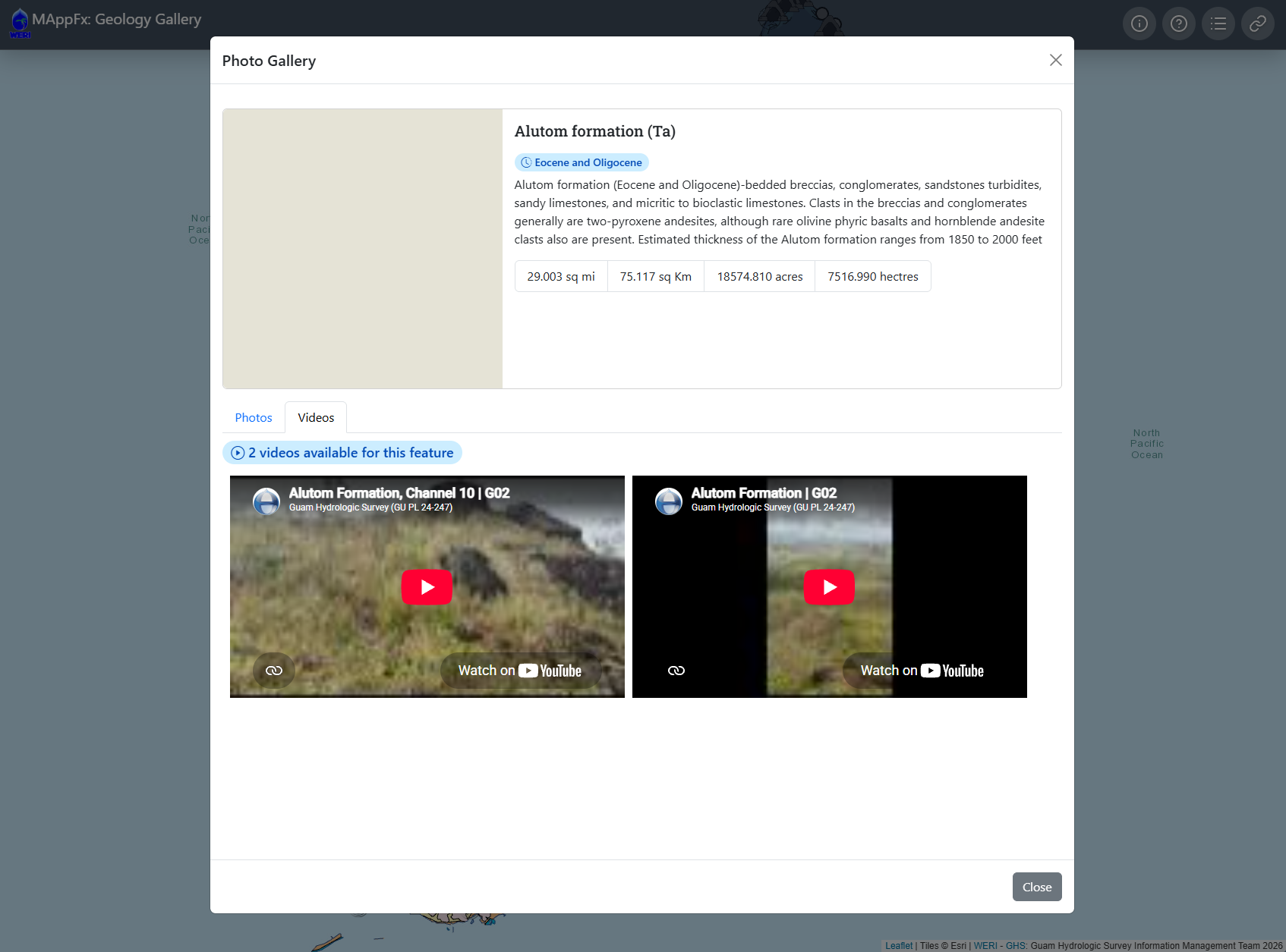
This visualized geo-library expands the MAppFx concept by connecting geographic information with field photography. Instead of only viewing numeric data as seen on a traditional geologic map, users can see what the real geology and surrounding environment look like in the island using a combination of photographs, videos, and aerial footage. This creates a more visual and immersive experience for researchers, students, educators, agency partners, and members of the public interested in Guam’s rock formations.
The purpose of the application is to make vital geo-information more accessible through an easy-to-use online platform. The ultimate goal is to build upon this GeoGallery as an interactive map and photo gallery web interface for exploring Guam’s geo-environment.
Results
The GeoGallery (GeoGal) is a new WERI MAppFx series. This MAppFx opens with a basemap of the Geologic Map and Sections of Guam, Mariana Islands (Siegrist et al. 2007) and site photos from fieldtrips and on-site research surveys. The GeoGal is a geo-map and photo database, ranging from aerial shots of geo-features to close-up shots of rock samples. GeoGal can also provide videos from drones and on-the-ground. This online data visualization product will soon expand to include other basemaps, such as hydrology, terrain, and other map features and will continue to be populated with photographs and videos. The availability of these resources at the user’s fingertips removes the friction of field excursions when a quick reference or educational tool is needed.
WERI’s MAppFx platform offers an interactive map environment on a web page, enabling users to retrieve graphs of specific sites by clicking on map features such as points, polygons, or lines. MAppFx is a data visualization tool that incorporates a user-friendly interface, empowering users and stakeholders to make informed decisions regarding water resource management. The growing presence of online web applications with mapping and graphing features offers an opportunity to revolutionize geo/hydro data analysis and resources, enabling users to visualize complex datasets and derive valuable insights for decision-making.
The use of this database to develop these responsive features expands the interagency web map products and is now available on the Guam Hydrologic Survey (GHS) website (guamhydrologicsurvey.uog.edu), Guam’s online repository of pertinent hydrologic information established by Guam’s public laws. With the established website and new online interactive interface technology available, the GHS Information Management Team are now inclined to pursue the expansion of hydrologic web products and field survey database. The ever-growing GHS website product is a true testament to interagency collaboration, a great means of hydrologic information, dissemination, and scientific information source for aquifer management.
MAppFx interface: See the results here>>