Authors
Author, Author, Author, and Author
WERI Technical Report
No. ### (YYYY)
View
MAppFx
Authors
NC Habana
WERI Technical Report
No. ### (YYYY)
View
MAppFx
Summary
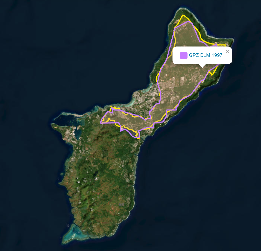
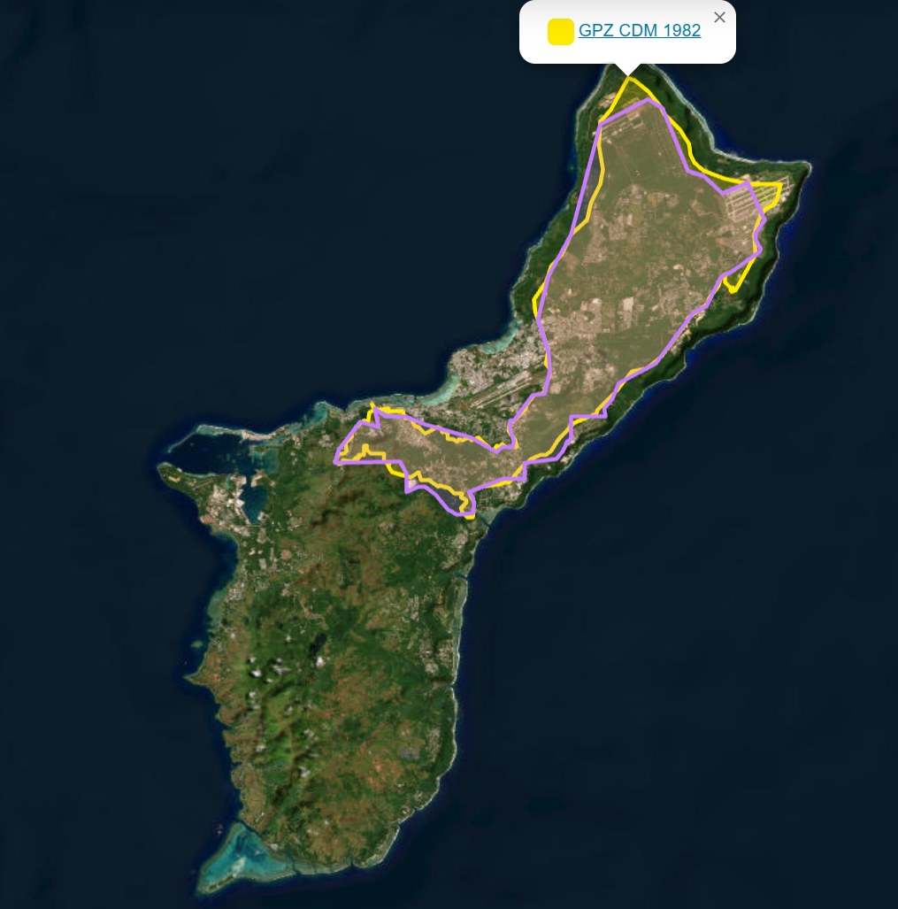
The groundwater protection zone (GPZ) is an inland area that limits certain activities and potential discharges that may be detrimental to freshwater source. The Northern Guam Lens Study (CDM 1982, copy of map) first mapped the GPZ. The determination was based on production well performance analysis, terrain analysis, areas, roads, and ridgelines. A 4,000 feet buffer is delineated from the coast, north of Tumon Bay along the coast, all the way around clockwise to Route 4 and Route 10 intersection, except on the south flank of Mount Santa Rosa ridge. South of Tumon Bay is a further inland setback around the former Naval Air Station and Harmon Industrial Park, along Route 16 and Route 10, Leyang and Balaku Streets, the road around the Guam Memorial Park, and along the ridgeline and edges by the Hagåtña Swamp. The delineation continues to cut over the Hagåtña Swamp, down the hill of Route 4 before Cost-U-Less, uphill to Route 24A west, then along Chalan Palasyo past Fort Santa Agueda, and towards the cliff edge around the Naval Hospital, and down to Marine Dr. Governor’s Office. South of the Pågu-Adilok Fault includes the ridgeline of the Ma’ina Watershed, and along the ridge of Alutom, before the Pågu Watershed. In 1997, Department of Land Management, mapped an update to the GPZ (copy of map) with practical survey points. A referenced point is provided at the intersection of Route 1 and Route 16.
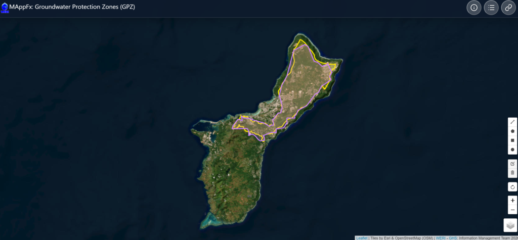
Both maps were made using a 4,000 ft buffer and georeferenced overlays for approximate delineation. The GPZ layers and basemaps may be selected in the right bottom corner widget. The other widgets are basic map controls, zoom and rotate, and drawing tools. The original maps in pdf are available through the information widget (first button on the top right corner).
Click here to view CDM 1982.
To learn more about the Northern Guam Lens Study (NGLS) and explore additional resources, visit our Sort and Search Library.
Results
The interactive Groundwater Protection Zones map for Guam is now available online. This MAppFx product provides a simple visual reference of Guam’s groundwater protection areas and resides as part of the Guam Hydrologic Survey’s collection of online hydrologic resources. The GPZ MAppFx can be accessed here.